Before MaderApp, gathering forest census information was a labor intensive, paper-based process that relied on a traditional field notebook. This led to imprecise information and inadequate oversight of the forestry sector. Without accurate data on the Peruvian Amazon’s increasingly scarce natural resources, legitimate forestry enterprises faced challenges addressing business threats and environmental concerns.
Through MaderApp’s reliable and affordable geo-positioning technology, forestry companies not only limit the possibility of human error while conducting a tree census, but also improve environmental and economic planning, increasing the efficiency of their operations.
Maderacre and Catahua are two forestry companies in Madre de Dios — a region in southeastern Peru’s Amazon Basin — that use MaderApp. A robust GPS-based tree census has modernized their operations while allowing for oversight at the start of the timber supply chain, from the moment a tree is harvested in the forest to the distribution of timber on the profitable global market.
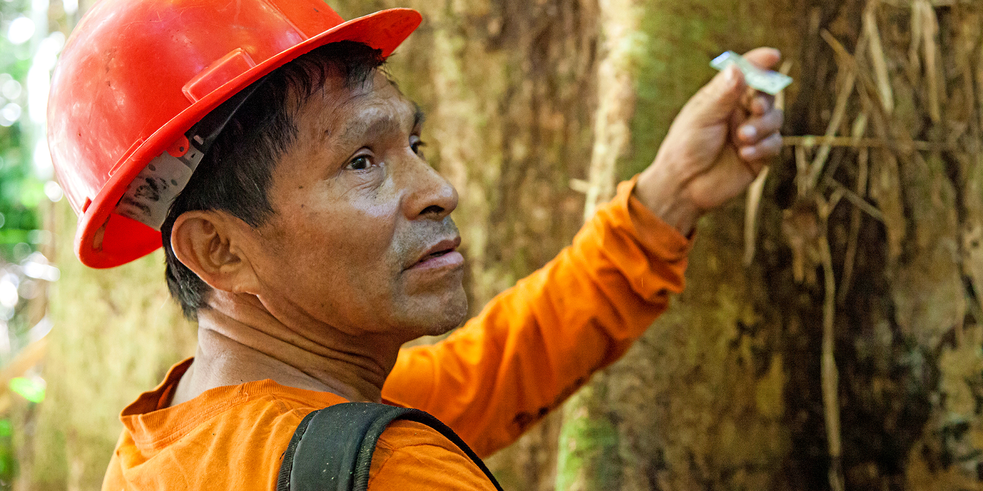
“Using mobile GPS equipment changed the process at Catahua,” the company’s forest manager says. “One day of classroom work and a week of training was enough. With the new method, they have more terrain details, they improve species identification… [and] now have the tree’s precise location.”

