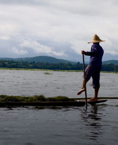
Basin communities are not the only parties demonstrating a commitment to sustainably managing the river basin. “We have seen behavior change in lodges, governments, and communities from this simple, simple practice,” said Robyn Tompkins, SAREP’s water supply and sanitation coordinator. Now, communities are beginning to share their experiences with other communities, encouraging independent replication of the model.
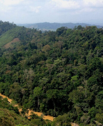
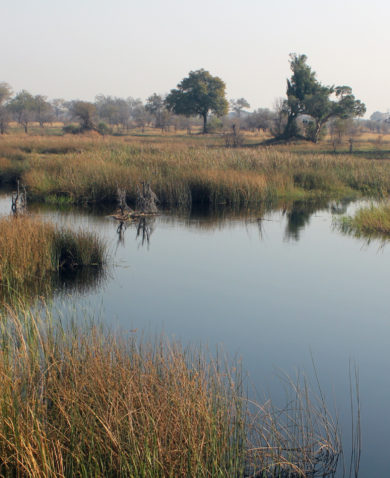
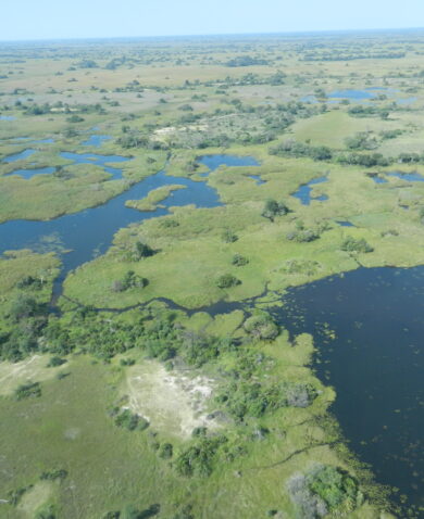
By pairing project geographic information system (GIS) data with maps of the basin area, SAREP has identified environmental hot spots and focused on communities that pose the greatest environmental risks. “When you print the GIS-layered plan, you can instantly obtain a picture of the health of the basin,” said Chief of Party Steve Johnson. “What’s been done by combining the two — the IWQM model and the GIS — is truly innovative.”
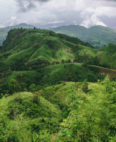
With the combined approach, SAREP is picking communities who are largely impacted and ensuring these communities are the drivers of this conservation effort, allowing the basin to remain a thriving ecological and economic resource for communities upstream and downstream.