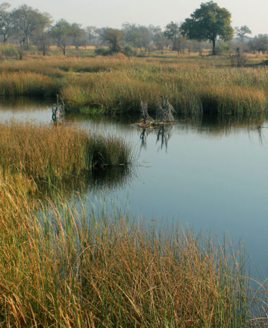
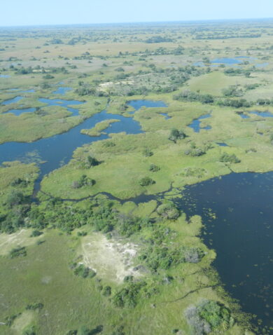
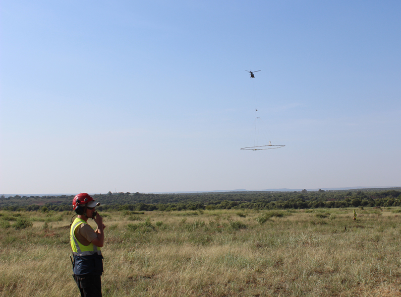
A helicopter takes flight, skimming above an area underlain by an important transboundary aquifer between Botswana and South Africa. An oval structure the size of the helicopter itself hangs from it, recording electromagnetic readings of the ground below, to map the underground of this upstream portion of the Limpopo River Basin — a collection of winding river systems that connects South Africa, Botswana, Zimbabwe, and Mozambique. As the helicopter treks across an otherwise seamless blue sky, it makes a brief shadow on the communities below.
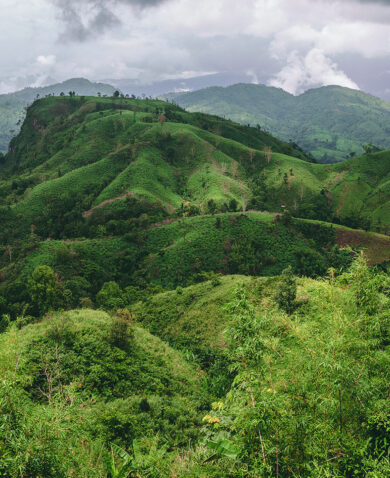
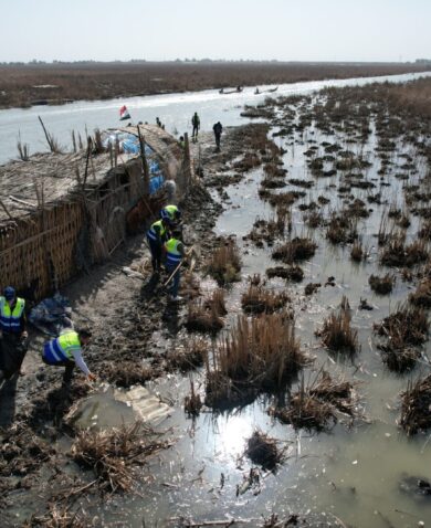
As the fourth largest basin in southern Africa, the Limpopo Basin plays a crucial role in the region’s biological and economic health. Yet the basin is prone to extreme climate changes and is highly susceptible to variances in rainfall. The basin is currently the driest it has been in more than 35 years.
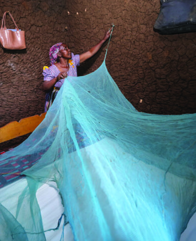
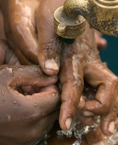
For communities who depend on the basin for their livelihoods, climate change is putting their economic well-being at risk. Furthermore, general knowledge of the basin itself — including where to access water, the impacts of environmental degradation and the percentage of rural populations dependent on groundwater — is severely limited and acts as a major barrier to informed decision-making on transboundary water management.
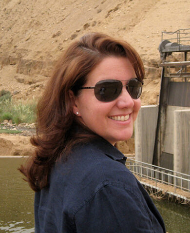
“Groundwater is of critical importance in the Limpopo River Basin,” says Dr. Karen Villholth, principal researcher at the International Water Management Institute (IWMI). “It is key to water security, climate resilience and prosperity — but only if continuously managed and protected and used wisely in conjunction with surface water supplies and other secondary resources, like treated wastewater. This is where this project comes in.”
Challenges Facing Limpopo
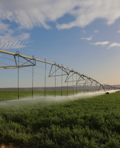
One place where limited knowledge poses a particular threat is around the Ramotswa Aquifer, a section of the upper basin shared by Botswana and South Africa. Scientists predict that by 2025, rapid urban population growth, increasing water demand for agriculture, and lack of proper wastewater treatment will increase pressure on the basin.
Without enough data about the aquifer and the basin overall, it is difficult for local governments to invest in the right tools and resources to address the needs of different communities. Greater transboundary collaboration is critical to gather enough information about existing groundwater resources to accurately address community needs in the face of climate change.
Bringing Groups Together Across Borders
Through USAID’s Resilience in the Limpopo River Basin (RESILIM) project, partners are doing just that. To boost the basin’s resilience, the project is using a holistic approach that considers not only the immediate impact of climate change but also the underlying biological, political, and historical factors that affect the basin and the aquifer.
With support from Chemonics, the International Water Management Institution (IWMI) is leading the RAMOTSWA Aquifer Project and bringing in the partners Exploration Resources International (XRI Blue) and the International Groundwater Resources Assessment Centre (IGRAC) to conduct a hydrogeological, socioeconomic, and institutional assessment of the Ramotswa Aquifer. The hope is that this concerted effort will promote transboundary management of the basin through regional cooperation.
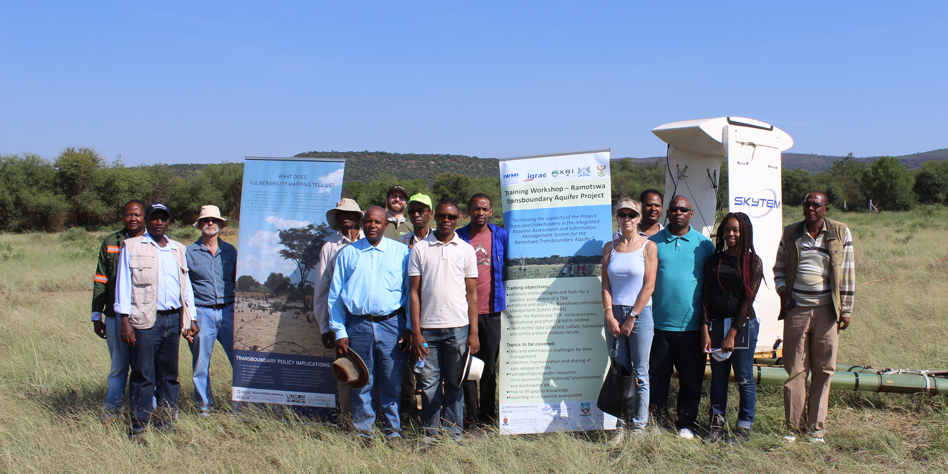
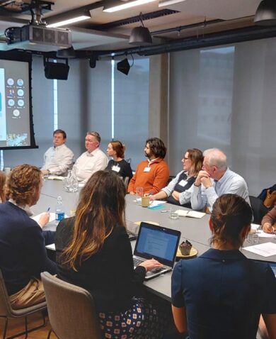
In July and November 2015, these partners led two major workshops for experts and government officials as part of this concerted effort. The workshop in July brought together countries in the region to discuss groundwater resource management. In November, key partners learned more about the nature of the project and were debriefed on the findings from July. Participants also discussed possibilities for collecting data and developing baseline assessments of the aquifer.
Digitizing a Database
Following these workshops, IGRAC developed a public database called the Ramotswa Information Management System (RIMS). Shaped by workshop outcomes and available data, RIMS aims to improve data and information management to aid decision-making on managing the shared aquifer. IGRAC will continue providing technical support for RIMS, in partnership with local universities and governments.
To uncover additional data about the aquifer’s geography, the partners also devised an approach to gather information that would directly feed into RIMS. This strategy involves using a helicopter with a device connected underneath that can receive data above the surface of the water. For three weeks in early 2016, XRI Blue guided the helicopter as it roamed the skies, surveying and collecting electromagnetic readings to help stakeholders get a better sense of the current nature of the aquifer and how best to develop and manage it.
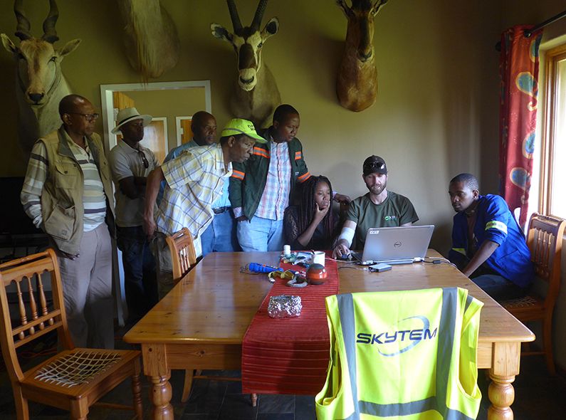
In September 2016, a large number of public and non-profit representatives from Botswana and South Africa gathered for a five-day training in Mahikeng, South Africa to study the results of the survey. At the training, participants learned about the conditions in and around the Ramotswa Aquifer — with a focus on water supply, resources, and constraints for livelihoods and development. Government representatives and managers also received training on how to use RIMS’ main features through an interactive and participatory process.