Leading Innovative Imaging .
May 7, 2013The Colombian government is piloting an innovative approach to imaging technology to better conserve forests and build local livelihoods.
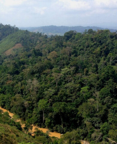
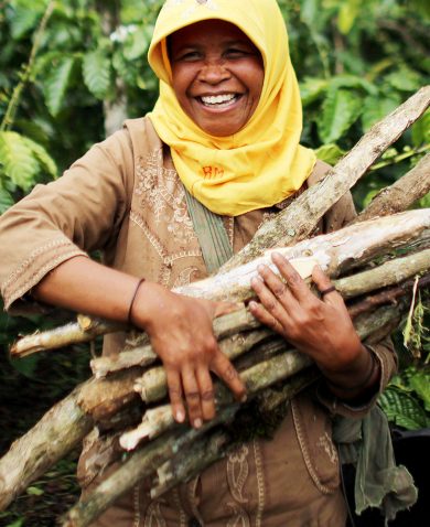
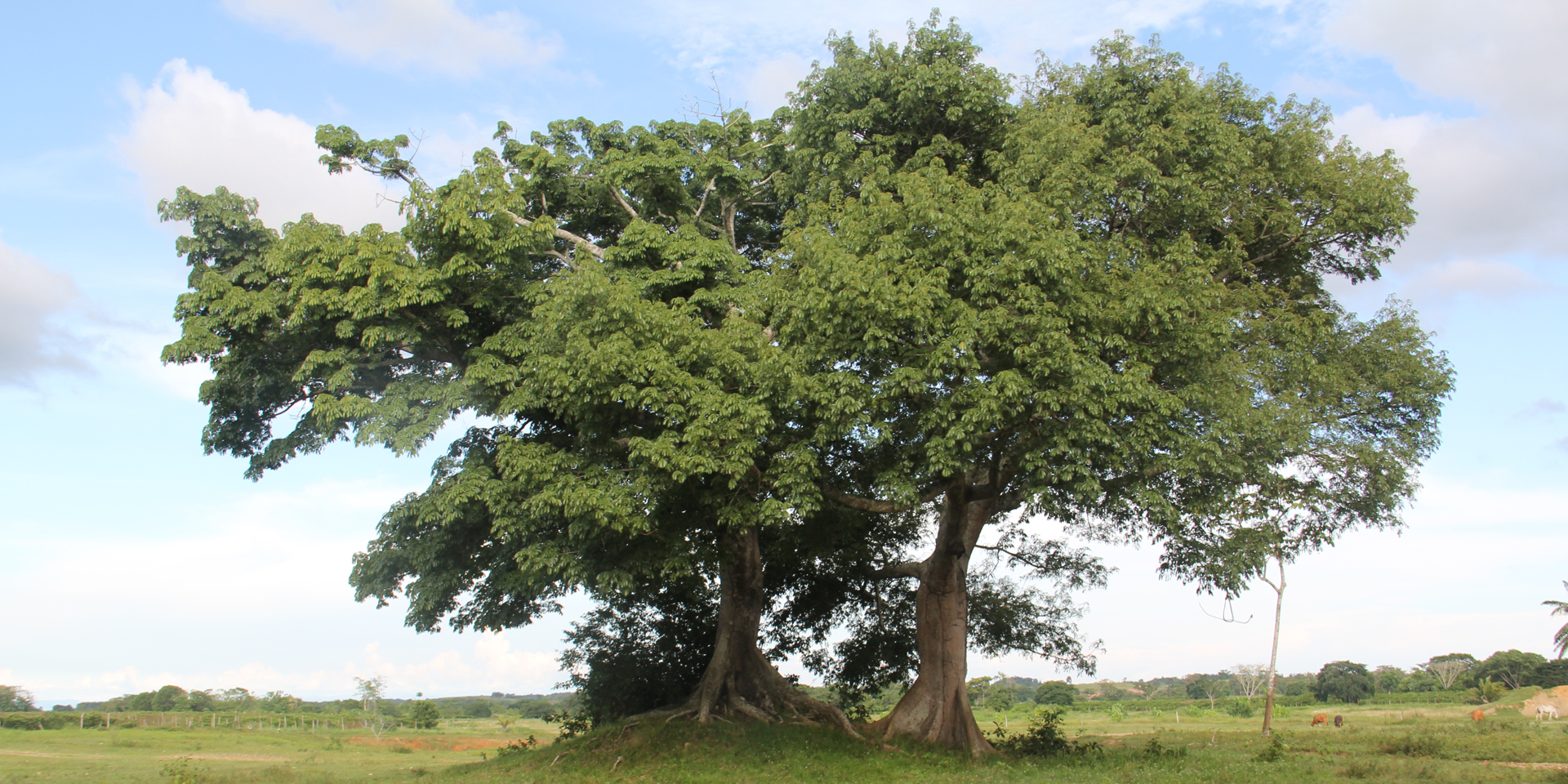
Tropical deforestation, driven mostly by domestic and global demand for timber, palm oil, and other commodities, as well as the need to fulfill basic agricultural needs in developing countries, is a major contributor to global climate change. Globally, the conversion of forests to other land uses contributes 15 to 20 percent of CO2 emissions, exceeding emissions from all types of transportation: cars, trucks, airplanes, boats, and trains. In some tropical countries, emissions from forest loss can exceed 60 percent of total greenhouse gas emissions. The loss of forests, especially in the tropics, often leaves in its wake impoverished communities, biodiversity losses, and declining ecosystems. In the face of this global and local impact, an approach called Reduction of Emissions from Deforestation and Forest Degradation, or REDD+, presents a high-potential, cost-effective way to mitigate climate change globally while generating significant social, economic, and other benefits locally: the “plusses” in REDD+.
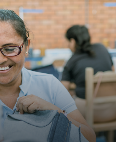
REDD+ uses market and financial incentives to reduce emissions of greenhouse gases from deforestation and forest degradation. Carbon captured from prevented deforestation and degradation can be estimated, priced, and sold as “credits.” Indigenous communities with titles to vast expanses of tropical forests can generate revenue from the sale of carbon credits to invest in productive and socially oriented projects.
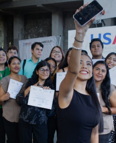
Colombia has a unique opportunity to participate in the international carbon credit market, both voluntary markets and future regulatory markets under the United Nations Framework Convention on Climate Change. To participate in this market, Colombia needed to be able to measure and track its national carbon stock following certain specifications. The Colombian Hydrology, Meteorology, and Environmental Studies Institute, the government body leading the initiative, partnered with USAID to build the country’s capacity to meet international requirements and develop forest cover maps.
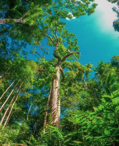
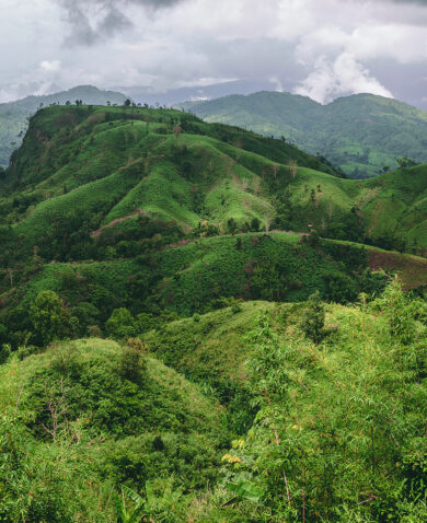
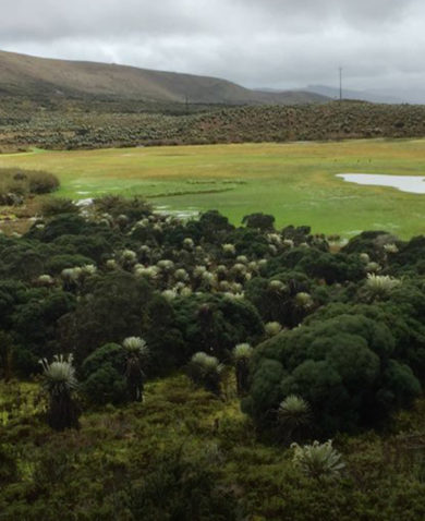
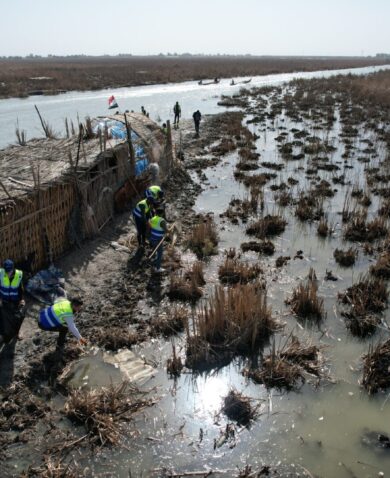
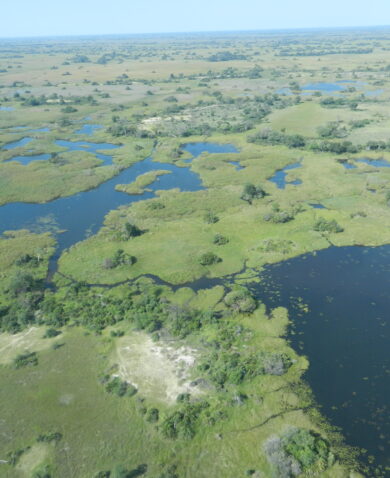
The hilly landscapes and persistent cloud cover of the Colombian Pacific coast proved to be a major challenge for optical satellite imaging technology LANDSAT traditionally used to distinguish among land covers like tropical forests, mangroves, and wetlands and to estimate carbon stock baselines. To address this challenge, the institute and the USAID Colombia Biodiversity and Reduced Emissions from Deforestation and Forest Degradation project are partnering to deploy a novel combination of remote sensing tools being developed by NASA Senior Researcher Sassan Saatchi.
This groundbreaking combination of tools, which has not yet been applied to REDD+ projects anywhere else in the world, includes the use of optical and radar images and a cloud- and canopy-penetrating infrared laser technology called LiDAR to construct a 3-D image of the forest. Combined with field inventory plots, those two imaging technologies can estimate the above-ground biomass with a high level of precision and accuracy. Dr. Saatchi developed the algorithms necessary to combine data from the three technologies to produce reliable estimates of carbon stocks in each forest type.
With a more accurate carbon estimate and a cost-effective way to monitor changes over time, communities will be able to sell more high-quality carbon credits with a lower risk to buyers. If successful over large areas, REDD+ could become one of the best examples of the adage: think globally, act locally.