The LAWIN Forest and Biodiversity Protection System
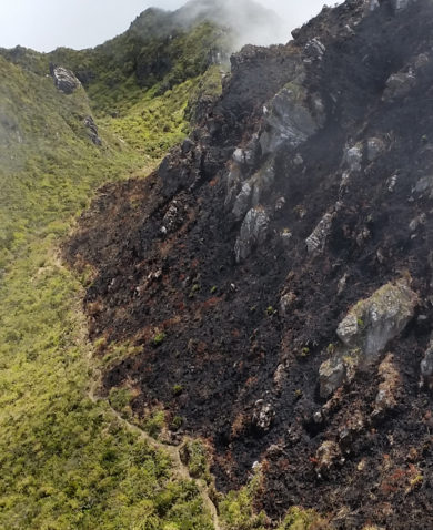
To prevent further environmental degradation, the Philippines Department of Environment and Natural Resources (DENR) designates protected areas across the country, ranging from large natural parks to wildlife sanctuaries. Through the B+WISER program, Chemonics and USAID aim to improve the management of these protected areas. But conserving 780,000 hectares of forests and watersheds is no small undertaking.
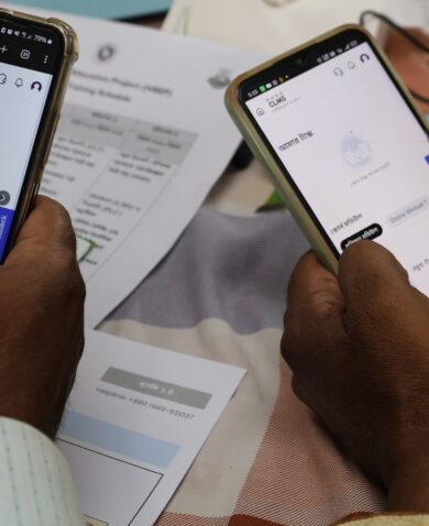
Together with DENR, the program developed the LAWIN forest and biodiversity protection system for forest managers and community patrollers to efficiently collect information on forest condition, environmental threats, and indicator species of forest health. With this information, the country can implement interventions that address threats and reverse trends of degradation. Prior to LAWIN, forest guards and protected area staff relied on a paper-based process of manually recording patrol data and entering it into computers. LAWIN replaces this manual data-recording process with tablets and smartphones, via an app developed through the open source software, CyberTracker.
LAWIN identifies “biodiversity hotspot” areas — areas that are a significant reservoir of biodiversity, yet face extreme threats of degradation. The system then uses an open-source geographic information system software (Quantum GIS) to analyze forest cover change data and identify priority areas for protection. These areas are used to design patrol sectors, where forest guards and community patrollers focus their protection efforts.
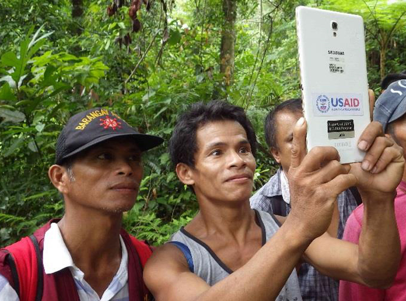
The patrol data recorded in tablets by trained forest managers and community patrollers syncs with a computer and imports to another software called the Spatial Monitoring and Reporting Tool (SMART). This software not only determines the amount of patrol effort conducted in terms of distance covered and hours spent, but also shows trends in terms of the number of observed threats and the number of observed indicator species per unit of patrol effort. These indicator species reflect the well-being of the Philippines’ biodiversity, and SMART makes it possible to analyze and visualize their exact location on maps. A decreasing trend in threats and an increasing trend in observed indicator species means improving forest conditions. These are indicators of forest health, which help environmental authorities to monitor and continuously improve the effectiveness of the program’s approach to address observed threats.
With a system that quickly identifies and addresses forest and biodiversity threats, the Philippines’ conservation efforts are reaching new heights.
But the vulnerable communities who witness these threats firsthand can also have a voice in defining conservation efforts in the Philippines.


